About the project
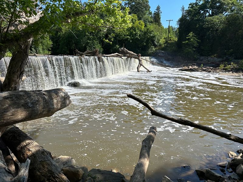
RestorEcology is proud to serve as the expert mitigation bank consultant for the Ossipee Mill Dam Removal, just northwest of Burlington, North Carolina, along Reedy Fork, a tributary of the Haw River. This transformative project will restore natural river flow to more than 13,800 linear feet of Reedy Fork.
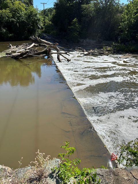
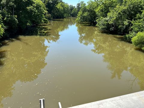
The Ossipee Mill Dam was built in the late 1800s and last used for industrial purposes in the 1970s. For a century and a half it has altered Reedy Fork’s natural dynamics: the structure impedes sediment transport, blocks the movement of fish and other aquatic species, and likely contributes to degraded water quality in the impounded reach upstream.
Why remove the dam
Removing this obsolete dam will:
- reconnect aquatic habitat above and below the structure,
- restore natural sediment transport and channel processes,
- improve dissolved oxygen and temperature in the former impoundment, and
- enhance the overall resilience of the Cape Fear River Basin.
Dam removal is one of the most effective forms of river restoration, and it is increasingly used to generate stream mitigation credits for permitted impacts elsewhere in the same watershed.
Credits
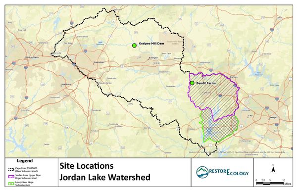
The project is being developed as a mitigation bank in the Haw River sub-watershed of the Cape Fear River Basin (HUC 03030002), which drains to Jordan Lake. Credit types, quantities and release timing depend on agency approval. If you anticipate stream or other mitigation needs in the Haw River sub-watershed, contact us and we will keep you informed as credits become available.
For nutrient offset and riparian buffer credits in the Jordan Lake watershed today, see our Bandit Farms Mitigation Site in the Upper New Hope arm.